Agricultural drone spraying pesticide over a green rice field with mountains in the background
Veteran-Founded • California Agriculture

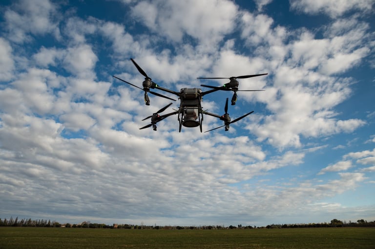
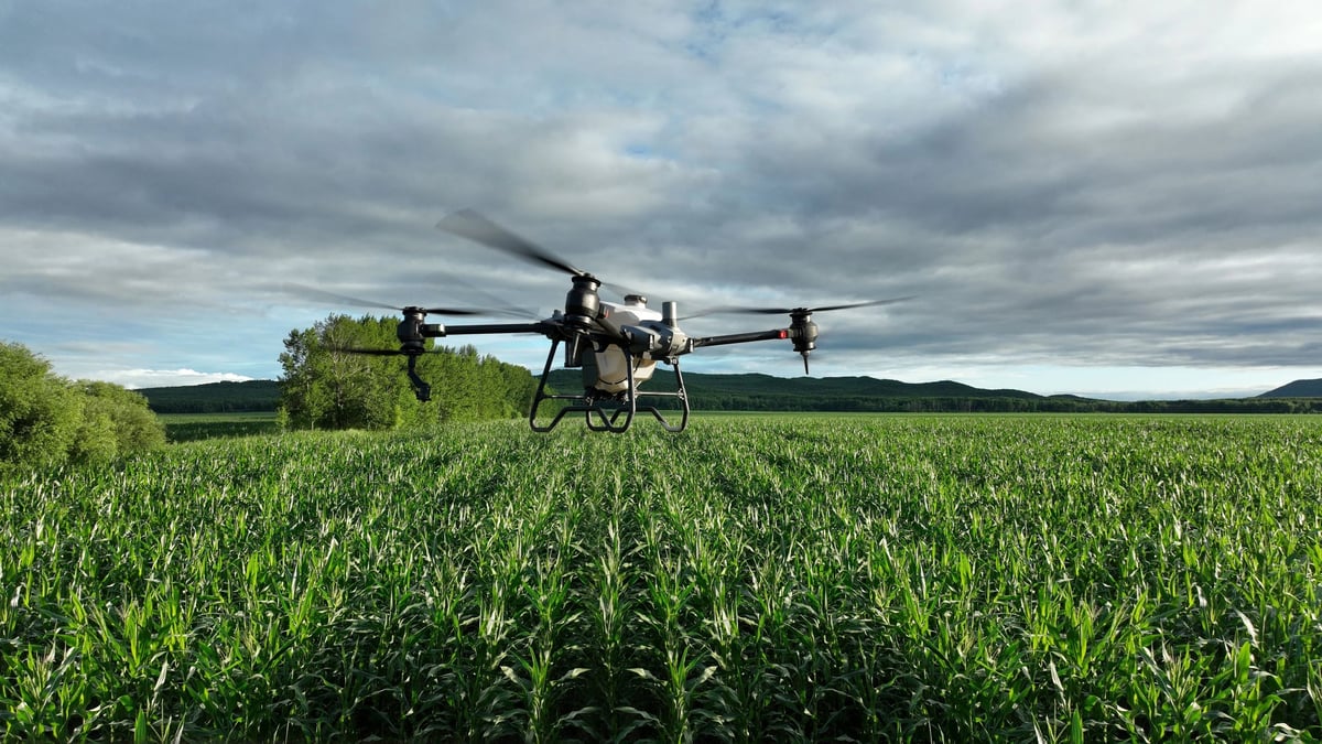
Precision From Above.
Profit From Below.

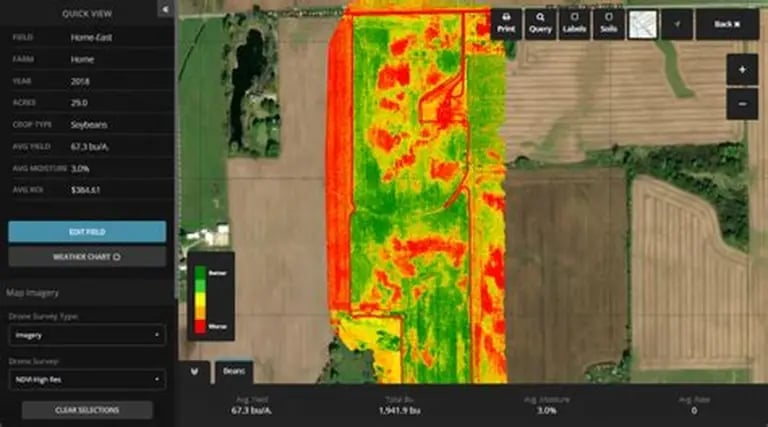
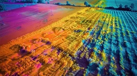
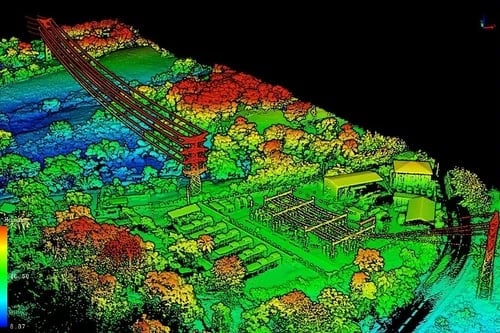
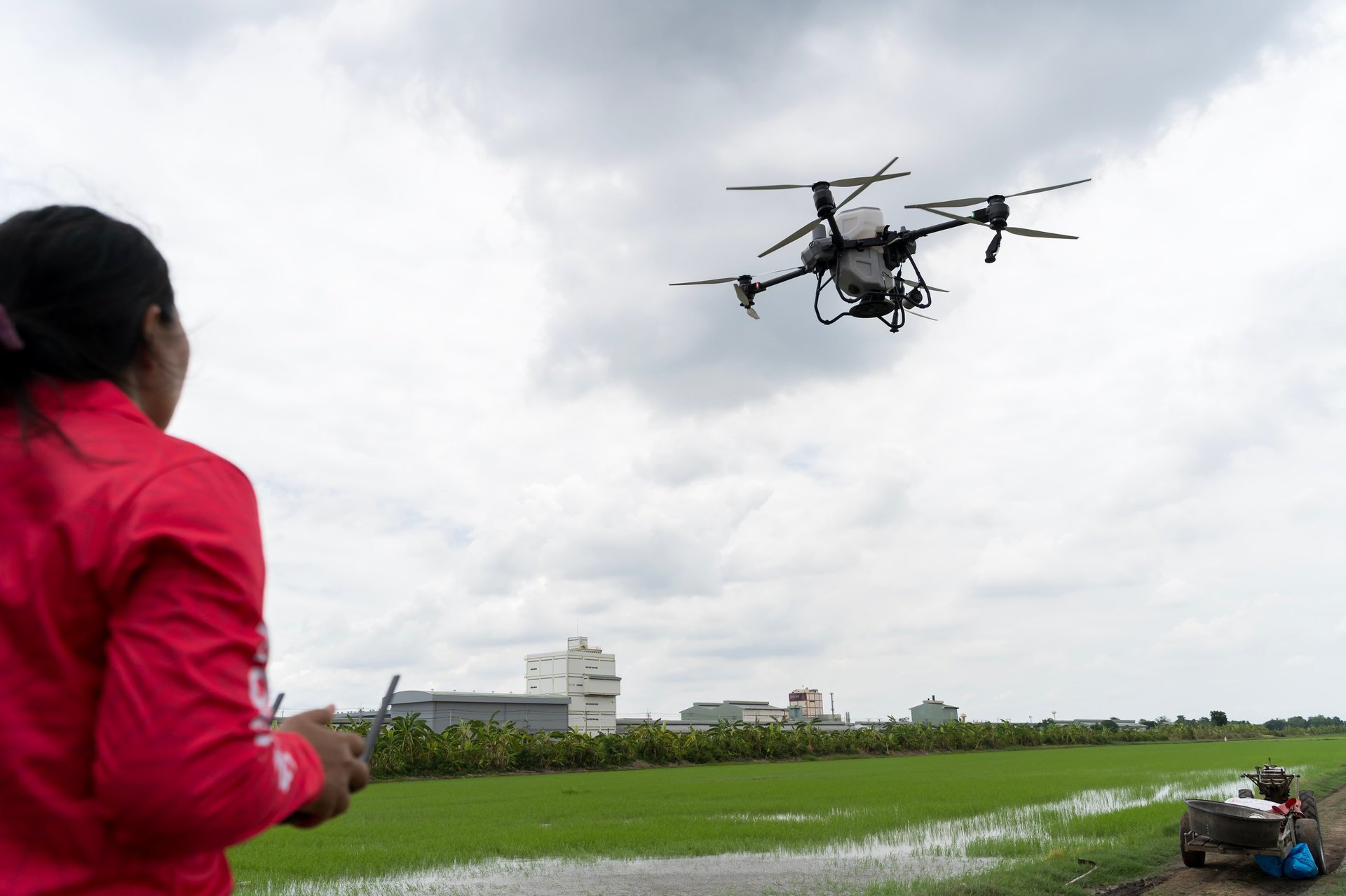
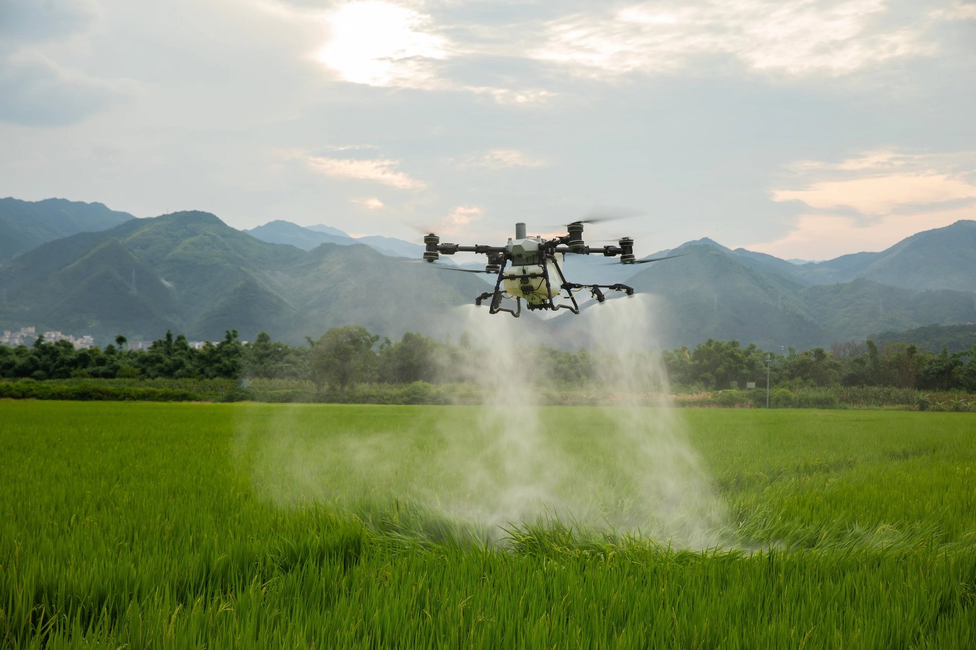
High-speed drone spraying, crop health mapping, and thermal diagnostics for California growers. Reduce chemical waste by 30%, cut labor costs, and protect your crops—day or night.

60-100
Acres/Hour
30%
Chemical Reduction
80K
Acres 1st Year
The Growing Crisis

California Growers Face Escalating Challenges

Traditional farming methods are struggling to keep up with today's demands. The stakes have never been higher.

20%+ Labor Shortage

Seasonal workers are harder to find every year, driving up costs and leaving crops unprotected during critical application windows.

20-30% Chemical Waste

Traditional ground rigs and manned aircraft over-apply pesticides, wasting money and contaminating soil and water systems.

Slow Response to Threats

By the time scouts identify pest or disease outbreaks on foot, damage has already spread across fields. Speed saves crops.

Rising Operational Costs

Fuel, equipment, and labor costs for legacy spraying methods keep climbing while grower margins shrink.

Terrain & Canopy Challenges

Vineyards, orchards, and hillside crops require precision that ground rigs and fixed-wing aircraft cannot deliver.

Limited Night Operations

Many pests are most active at night, but traditional methods are daylight-only. Growers need after-dark capability.

Our Solutions

Complete Drone-Based Agricultural Services

From high-speed spraying to thermal imaging, we provide a full suite of precision agriculture solutions powered by DJI's most advanced technology.

Agricultural drone spreading fertilizer
Flagship Service

Precision Spraying

DJI Agras T-100 delivers targeted pesticide, herbicide, and fertilizer application at 60–100 acres per hour. Advanced obstacle avoidance, terrain-following radar, and night-operation capability.

  • Up to 30% chemical reduction
  • Terrain-following radar
  • Day & night operations
Learn More
Thermal imaging software interface displaying an aerial crop health map with red, yellow, and green color zones indicating temperature variations across agricultural fields
Intelligence

Crop Health Mapping

DJI Matrice 4T with multispectral sensors creates NDVI maps that detect crop stress, disease, and nutrient deficiency weeks before visible symptoms appear.

  • Early detection technology
  • Actionable NDVI reports
  • Disease & pest identification
Learn More
Aerial view of agricultural fields with vibrant rainbow-colored thermal imaging overlay showing temperature variations across crops
24/7 Capability

Thermal & Night Ops

FLIR thermal imaging enables irrigation leak detection, heat stress monitoring, livestock checks, and after-dark pest management that competitors cannot match.

  • Night pest management
  • Irrigation leak detection
  • Heat stress monitoring
Learn More
3D LiDAR point cloud visualization of an agricultural farm showing fields, equipment, and terrain in false-color heat map
Phase 2

LiDAR Terrain Modeling

Advanced orchard canopy modeling, precision terrain mapping, and pre-planting surveys. LiDAR data creates proprietary advantages for predictive analytics over time.

  • Canopy volume analysis
  • Pre-planting surveys
  • Predictive analytics
Learn More
Agricultural drone hovering over a green cornfield under cloudy skies
80K
Acres 1st Year Projection
Mentor-proven business model
Why West Coast Dragonfly AG

Built for California Agriculture

We're not just another drone service. We're a veteran-founded team with a mission to make precision aerial crop protection affordable, reliable, and accessible for every grower on the West Coast.

Reduce Chemical Waste by 30%

Targeted application means less runoff, lower costs, and healthier soil and water systems.

Rapid Response Capability

When pest outbreaks happen, we mobilize fast. Speed saves crops and protects your yield.

No Long-Term Contracts

Pay per acre for each service. Our Drone-as-a-Service model keeps your costs flexible.

Night Operations Available

Many pests are most active after dark. Our thermal-equipped drones let you treat them when it's most effective.

Service Coverage

Serving a 200-Mile Radius

Based in Pittsburg, California, our mobile drone fleet brings precision agriculture directly to your fields throughout the Bay Area, Central Valley, and beyond.

Pittsburg, California
200-mile service radius

Central Valley

Fresno, Bakersfield, Stockton, Modesto

Napa & Sonoma

Wine country vineyards & orchards

Coastal Regions

Salinas, Santa Cruz, Ventura, Oxnard

Specialty Crops

Almonds, pistachios, citrus, berries

Not Sure If We Serve Your Area?

Our mobile fleet can travel throughout California. Contact us to check coverage for your specific location.

Drone flying over lush green rice field
Free Consultation Available

Ready to Transform Your Crop Protection?

Join California growers who've already discovered the precision, savings, and reliability of drone-based agriculture. No obligation, just answers.

No long-term contracts
Response within 24 hours
Serving all of California