Transparent Pricing
Pricing
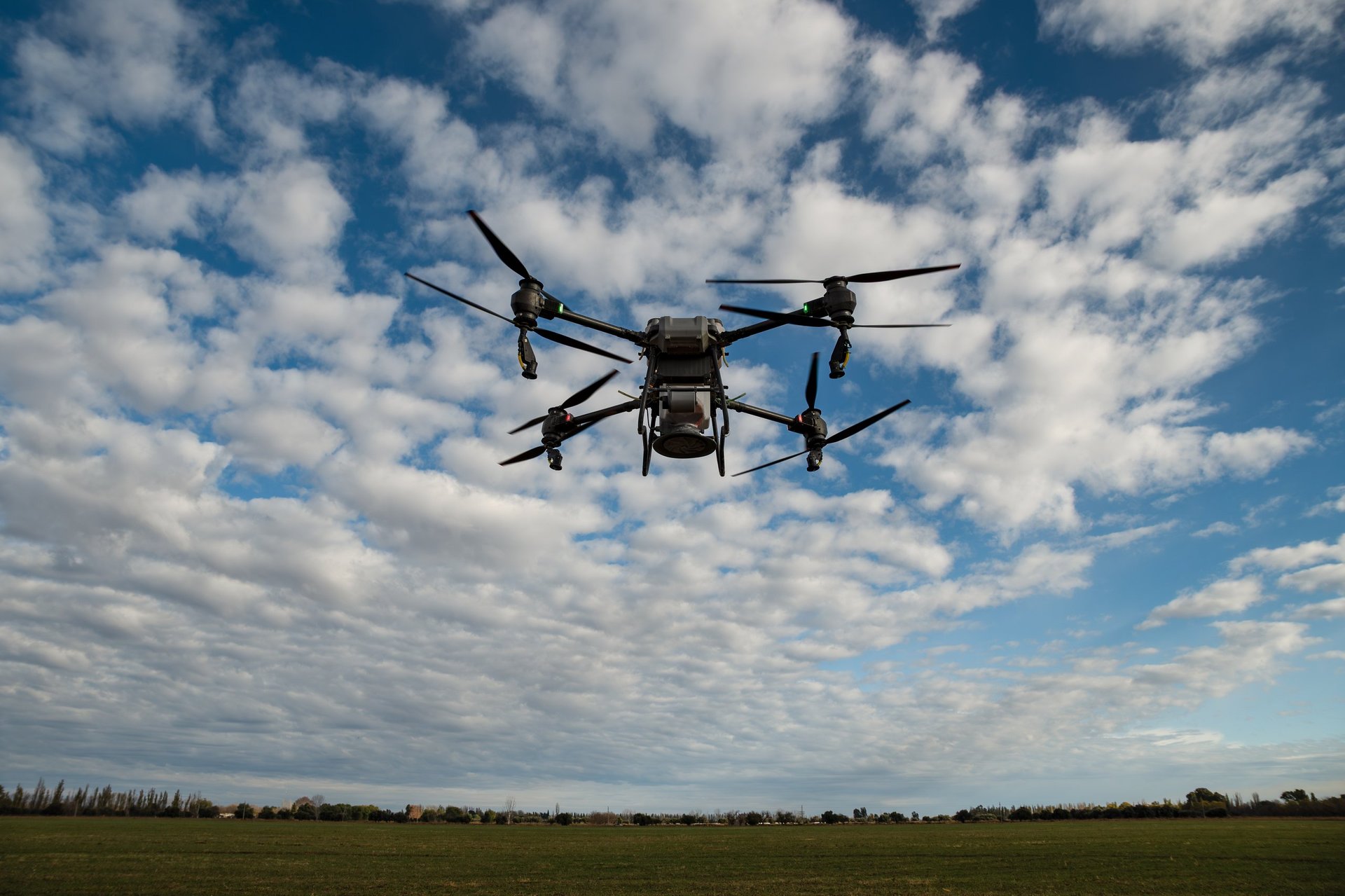
Pay-per-acre pricing with no long-term contracts. Our Drone-as-a-Service model keeps your costs flexible and predictable.
Pay-per-acre pricing with no long-term contracts. Our Drone-as-a-Service model keeps your costs flexible and predictable.
Per-acre pricing for precision drone services across vineyards, orchards, and row crops. Volume discounts available for 100+ acre operations.
| Application Type | CA Price Range | Notes |
|---|---|---|
| Basic Herbicide | $20–30/acre | Open fields, low canopy |
| Fungicide/Pesticide — Orchards & Vineyards | $25–40/acre | Higher skill + canopy penetration |
| Liquid Fertilizer | $20–30/acre | Uniform coverage application |
| Spot Treatment / Precision Spray | $35–55/acre | Targeted, high value crops |
| Multi-Pass Programs | $40–60/acre | Disease cycles, specialty crops |
| Seeding Type | CA Price Range | Notes |
|---|---|---|
| Cover Crop Broadcast Seeding | $18–35/acre | Even distribution over uneven terrain |
| High Density / Mixed Seed Blends | $25–45/acre | Higher payload + calibration time |
| Orchard Floor Seeding | $22–40/acre | Precision under canopy |
$500–$1,200
Per job depending on distance & setup
$50+ Miles
From Pittsburg, CA base
10–20% Off
For 100+ acre blocks
Detect heat signatures, irrigation leaks, and crop stress before they become visible problems.
Irrigation uniformity maps, crop stress detection, livestock monitoring, soil moisture patterns
Electrical hotspots, equipment overheating, safety hazard identification, thermal audits
24/7 perimeter monitoring, intrusion detection, night operations, blind spot mapping
| Service Type | Price Range | Notes |
|---|---|---|
| Small Site (5–20 acres) | $500–$1,500 | Irrigation, crop stress, perimeter |
| Medium Site (20–100 acres) | $1,500–$4,000 | Large farms, industrial yards |
| Large Site (100–500 acres) | $4,000–$12,000 | Vineyards, orchards, solar farms |
| Solar Farm Inspection | $1,500–$6,000/site | Or $8–20/kW for large installations |
| Emergency Response | $1,000–$3,500/deployment | Wildfire support, SAR, disaster response |
| Security Sweeps | $500–$2,000/hour | High-risk sites, 24/7 monitoring |
Advanced 3D terrain mapping, orchard canopy modeling, and predictive analytics. LiDAR penetrates dense vegetation to capture ground elevation and terrain data inaccessible to other methods.
Topographic surveys, cut/fill analysis, stockpile volumetrics, as-built documentation
Canopy analysis, biomass estimation, bare earth models, wildfire mitigation
Powerline clearance, pipeline mapping, road/rail corridors, change detection
| Service Type | Price Range | Notes |
|---|---|---|
| Small Site (5–20 acres) | $750–$2,500 | Orchards, small vineyards, residential sites |
| Medium Site (20–100 acres) | $2,500–$7,500 | Large farms, industrial yards, mining sites |
| Large Site (100–500 acres) | $7,500–$25,000 | Vineyards, timberland, municipal projects |
| Corridor Mapping | $300–$600/mile | Powerlines, pipelines, roads, railways |
| Emergency Response | $1,500–$5,000/deployment | Disaster assessment, landslide mapping, wildfire damage |
| Digital Twins | $5,000–$50,000 | High-res 3D models, BIM/GIS integration |
No long-term contracts. No equipment to maintain. Pay per acre for exactly what you need.
No upfront equipment costs
Flexible scheduling
Volume discounts available
Tell us about your operation and we'll provide a customized estimate.