Real Results
Case Studies
See how we've helped California growers reduce costs, improve yields, and protect their crops with precision drone technology.
See how we've helped California growers reduce costs, improve yields, and protect their crops with precision drone technology.
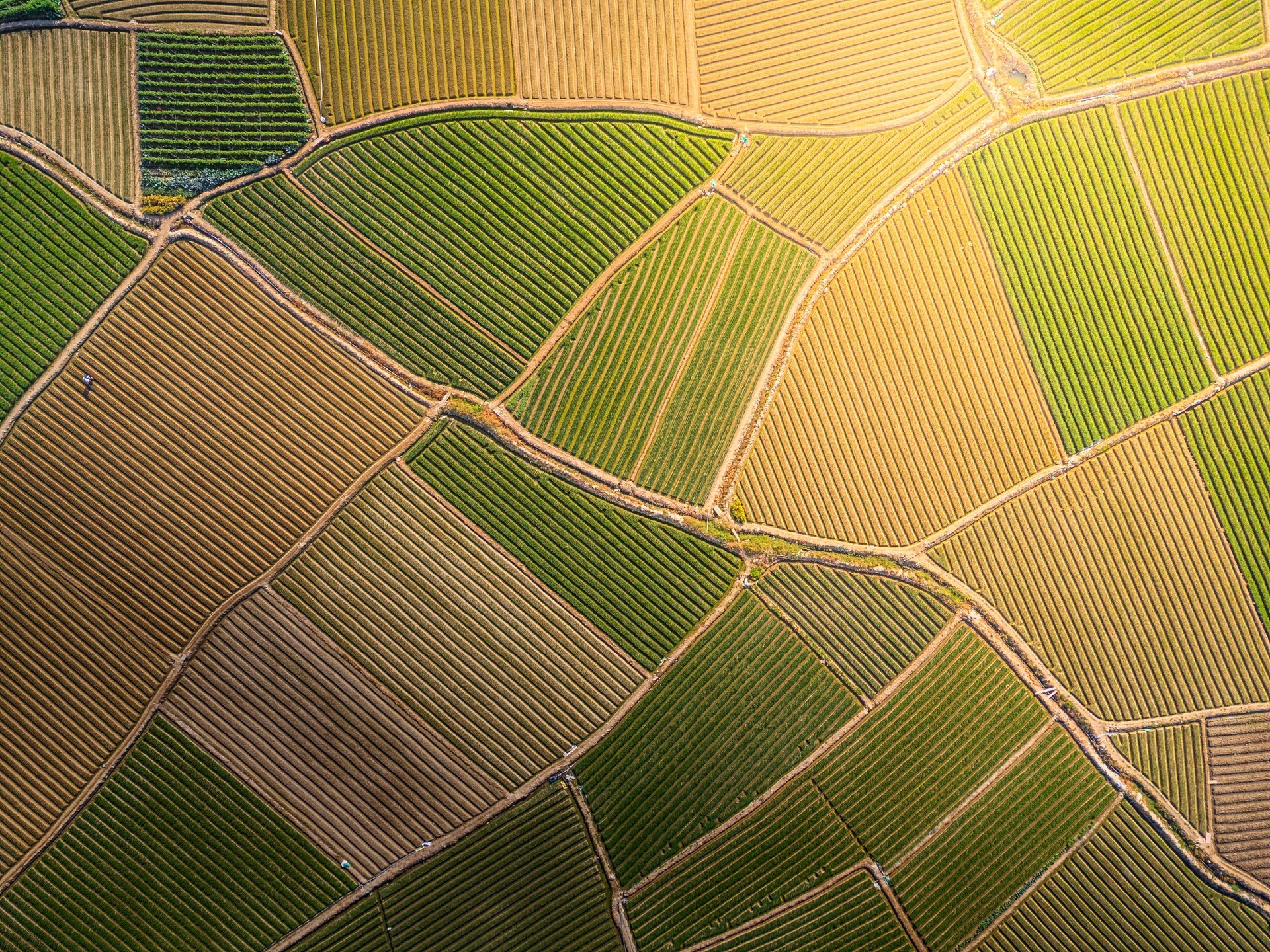
A 2,500-acre specialty-crop farm growing almonds, grapes, and mixed vegetables in the Central Valley. The farm struggled with inconsistent irrigation, late detection of nutrient deficiencies, and rising labor costs for manual scouting.
Traditional field scouting was too slow to catch early-stage stress, inconsistent across large acreage, costly during peak season, and unable to quantify crop-health trends over time.
"We used to react to problems. Now we prevent them. The drone reports paid for themselves in the first season."
— Farm Manager, Central Valley
A multi-county agricultural enterprise managing 50,000+ acres of row crops, orchards, and rangeland.
The client needed a scalable way to monitor crop health, water distribution, pest pressure, field anomalies, and infrastructure—but traditional manned flights were expensive and infrequent, and ground crews couldn't cover the acreage fast enough.
BVLOS fixed-wing drone operations with multispectral sensors, high-resolution RGB, long-range telemetry, and automated flight corridors enabled continuous monitoring across multiple counties.
"This is the first time we've had a true aerial operations program, not just occasional flights. It changed how we manage land."
— Director of Operations

A 6,000-acre remote farm with limited cellular coverage and no existing IoT infrastructure.
The farm needed real-time data on soil moisture, canopy temperature, nutrient levels, and field microclimates—but lacked connectivity for sensors or telemetry.
A LoRa-enabled drone system that collects sensor data from distributed nodes, relays data back to farm HQ, maps environmental conditions, and operates in low-connectivity environments.
"We finally have real data from every corner of the farm. The drone network solved a problem we've had for years."
— Ranch Supervisor
Contact us today for a free consultation and see how precision drone technology can transform your operations.